 Infrastructure
City, traffic & infrastructure
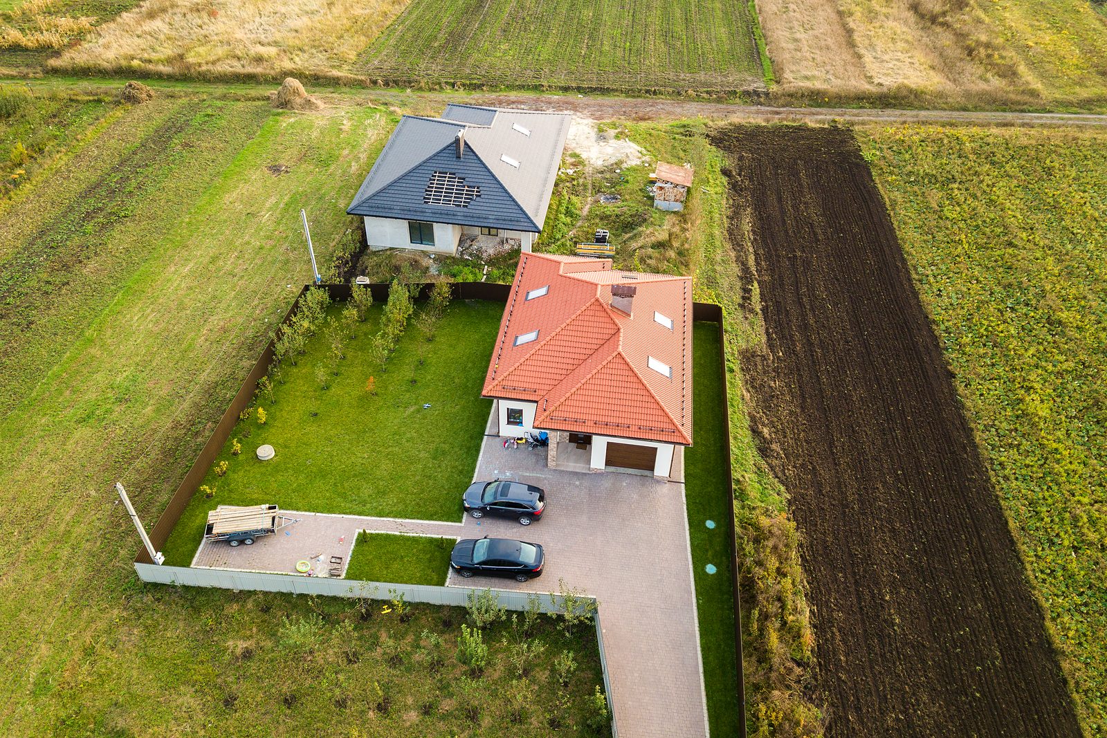
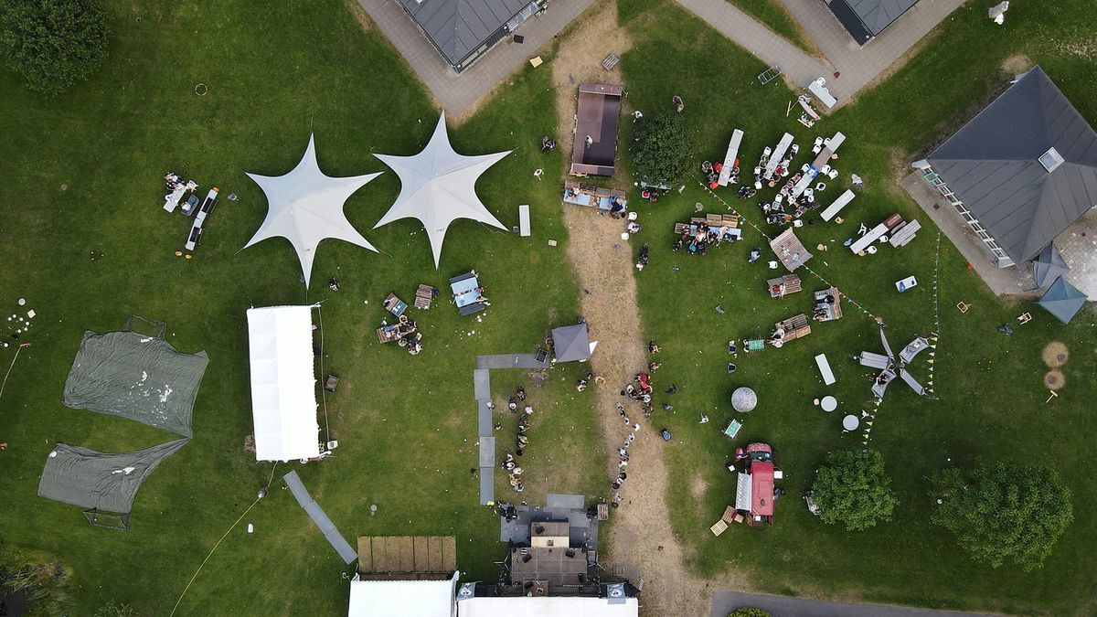
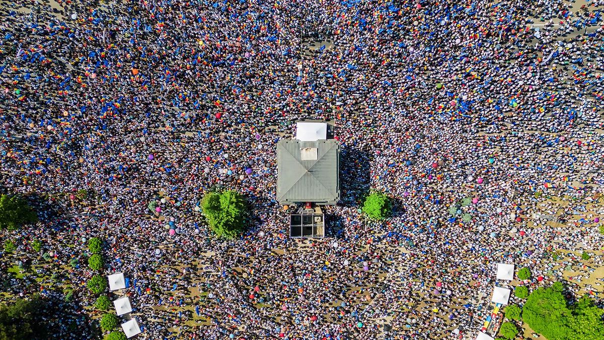
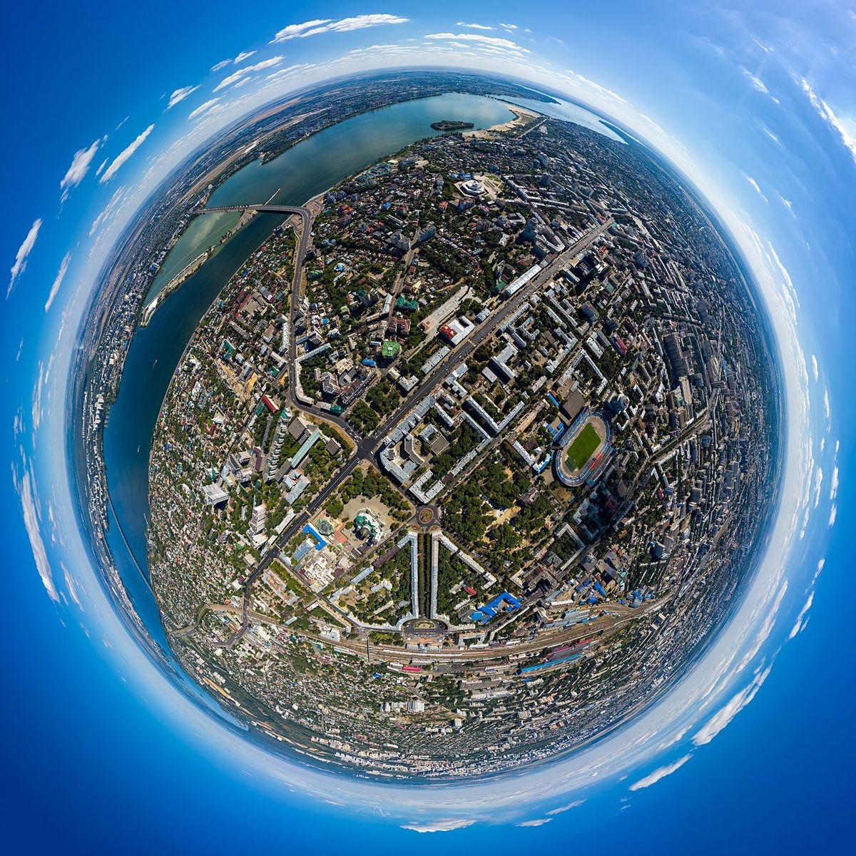
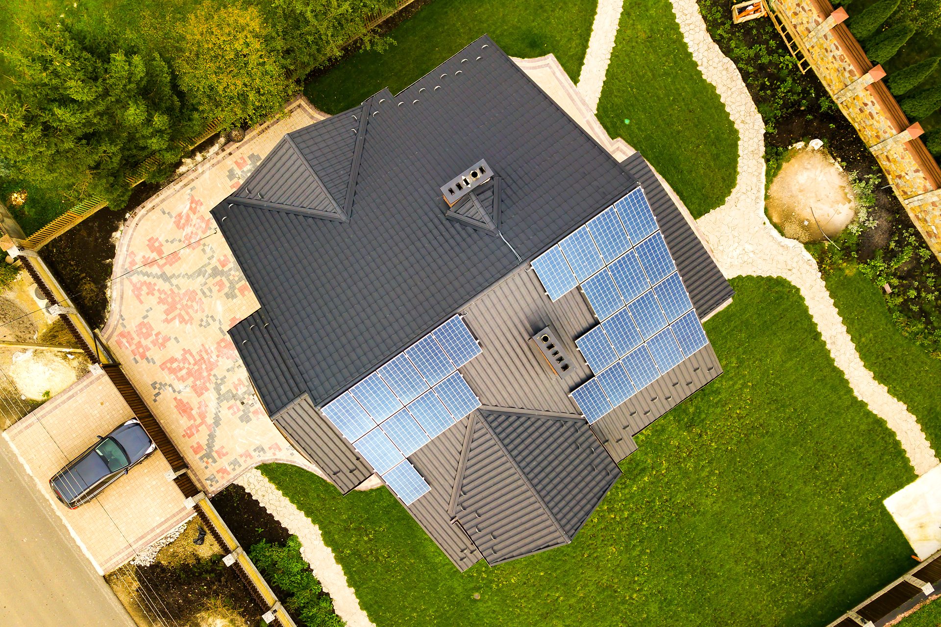
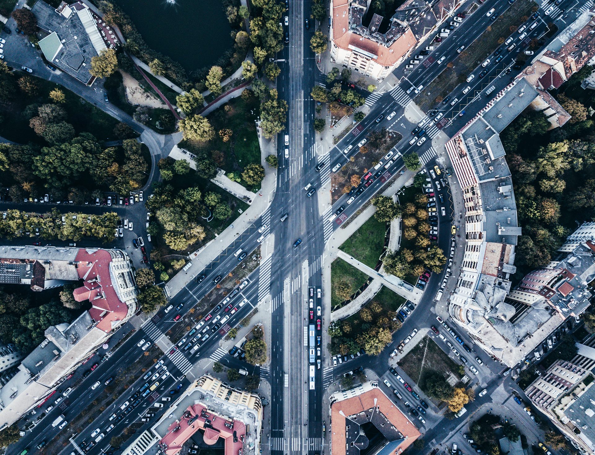
For municipalities, city marketing, planning offices and building projects: streets, squares, neighbourhoods and traffic routes from a bird's-eye view. Aerial images make connections visible that remain abstract on a map.